Blog


Urban areas worldwide grapple with multifaceted challenges concerning mobility, stemming from burgeoning populations, rapid urbanization, and outdated infrastructure. These challenges …
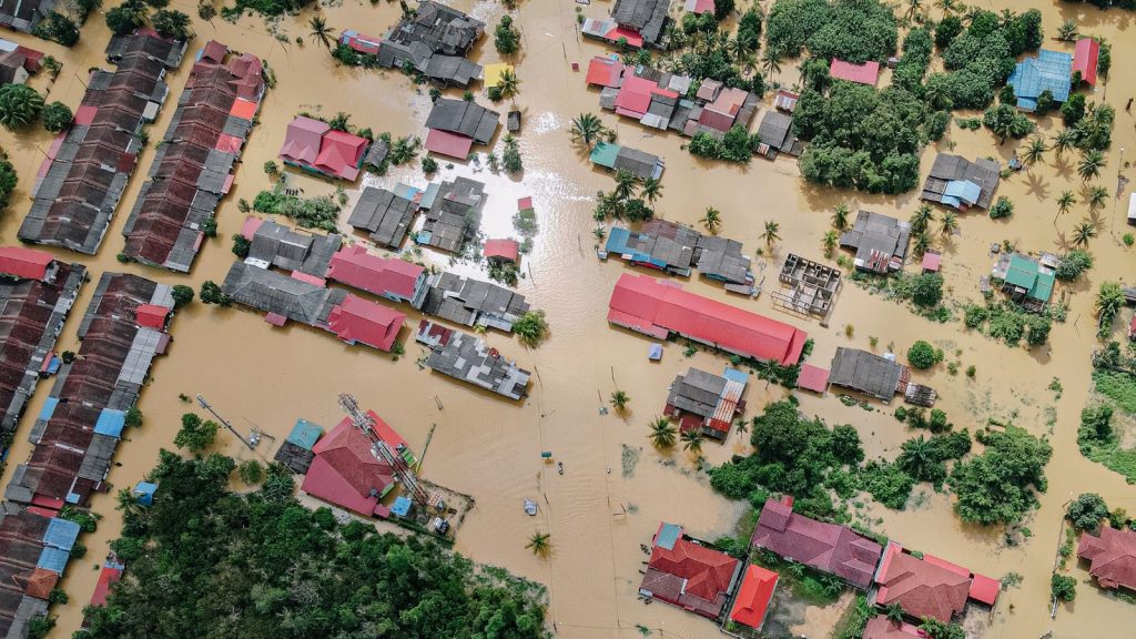
Natural disasters such as earthquakes, hurricanes, and floods can leave a path of destruction in their wake. These events can …

In recent years, geospatial technology has emerged as a powerful tool for a wide range of applications. Encompassing the collection, …

The real estate industry has traditionally relied on manual methods for property management and market analysis. Property managers often utilize …

On this International Women’s Day, the Association of Geospatial Industries (AGI) celebrates the remarkable women shaping the future of the …

Citizen science, the involvement of volunteers in scientific research, has gained significant traction in recent years due to its capacity …