Partnerships

img

Government Partners

India’s national survey and mapping organization – Survey of India (SOI) and the country’s Geospatial Industry body – Association of Geospatial Industries (AGI) signed a Memorandum of Understanding for Geospatial Skill Development in the country. Under this MoU, Survey of India and AGI with its member companies will:

1. Carry out need assessment for various training requirements on a case-by-case basis.

2. Carry out curriculum design development of courses as per requirements and Geospatial industry standards, after mutual consultation.

3. Provide training and certificates for various skills using latest tools, equipment, and technologies to bridge the gap between current learning outcomes and the requirements of the user organizations

National Remote Sensing Centre (NRSC) has the mandate for establishment of ground stations for receiving satellite data, generation of data products, dissemination to the users, development of techniques for remote sensing applications including disaster management support, geospatial services for good governance and capacity building for professionals, faculty and students.

The MoU with NRSC was established for the following common objectives –

1. Creating value & support national development by adopting relevant technologies
2. Helping with skill-building
3. Incubating new and young organizations
4. Formulating models for sustained Public-Private Partnership
5. Promoting India as a source for high quality data and services across the globe

International Partners

The Open Geospatial Consortium (OGC) is an international industry consortium of 500+ companies, government agencies and universities participating in a consensus process to develop publicly available interface standards. OGC® Standards support interoperable solutions that “geo-enable” the Web, wireless and location-based services and mainstream IT. The standards empower technology developers to make complex spatial information and services accessible and useful with all kinds of applications.

This partnership will enable AGI to help industry and users in India to understand and adhere to global standards and practices, thereby bringing in standardization of the platforms as well as application and also enabling interoperability with non-spatial applications.

The World Geospatial Industry Council is an association of companies representing the entire ecosystem of geospatial industry. WGIC endeavors to:
1. Enhance the role of the geospatial industry and strengthen its contribution in global economy and society.
2. Facilitate exchange of knowledge within the geospatial industry and co-creation of larger business opportunities for the geospatial industry.
3. Represent business interest, share perspectives of the geospatial industry and undertake policy advocacy and dialogue with public authorities, multilateral agencies and other relevant bodies.

AGI is a founding member of WGIC. This alliance connects the Indian Geospatial Industry to global business opportunities, partnerships and collaborations.

EARSC is a non-profit organisation aimed to promote the use of Earth-observation (EO) and European companies which offer EO-related products and services. Formed in 1989, the organisation has over 100-member companies from throughout Europe with a secretariat office in Brussels. EARSC is actively involved in coordinating and strengthening the EO chain and promoting the European geo-information industry, and also providing a unified voice on wider European and global issues of importance to the industrial sector.

This MoU has the objective to establish a formal cooperation initiative between EARSC, responsible for promoting the use of Earth Observation (EO) technology and supporting companies in Europe which offer EO-related products and services, and AGI which is responsible for addressing common concerns and for promotion of the interests of the geospatial industry in India. The concrete objectives of the MoU include:
1. Regular exchange of information and answering requests
2. Production of a joint roadmap for increased future cooperation
3. Cross-promotion of mutual opportunities and interest to export technologies
4. Cooperation in the marketing of showcase applications of mutual interest
5. Organization of joint meetings/events on an appropriate basis to support and implement the objectives

GEO is a partnership of more than 100 national governments and in excess of 100 Participating Organizations that envisions a future where decisions and actions for the benefit of humankind are informed by coordinated, comprehensive and sustained Earth observations.

AGI is a Participating Organization at GEO.

Academic Partners

AGI signs MOU with IITTNiF for Geospatial Advocacy, Innovation, and Research

February 07, 2023, New Delhi: India’s Geospatial industry body – the Association of Geospatial Industries (AGI), and the IIT Tirupati …

Read More

AGI Signs MOU with CEPT University for Geospatial Capacity Building, Skilling and Research Cooperation

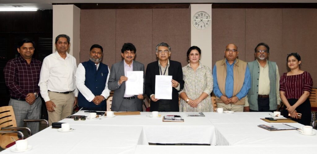
December 06, 2022, New Delhi: India’s Geospatial industry body – the Association of Geospatial Industries (AGI), and the country’s premier

Read More
AGI and SPA Delhi sign MoU for Geospatial Capacity Development

AGI and SPA Delhi sign MoU for Geospatial Capacity Development

November 18, 2022, Friday New Delhi: India’s premier educational institute for the built environment – the School of Planning and …

Read More

Subscribe Newsletter

To get more updates subscribe our newsletter