
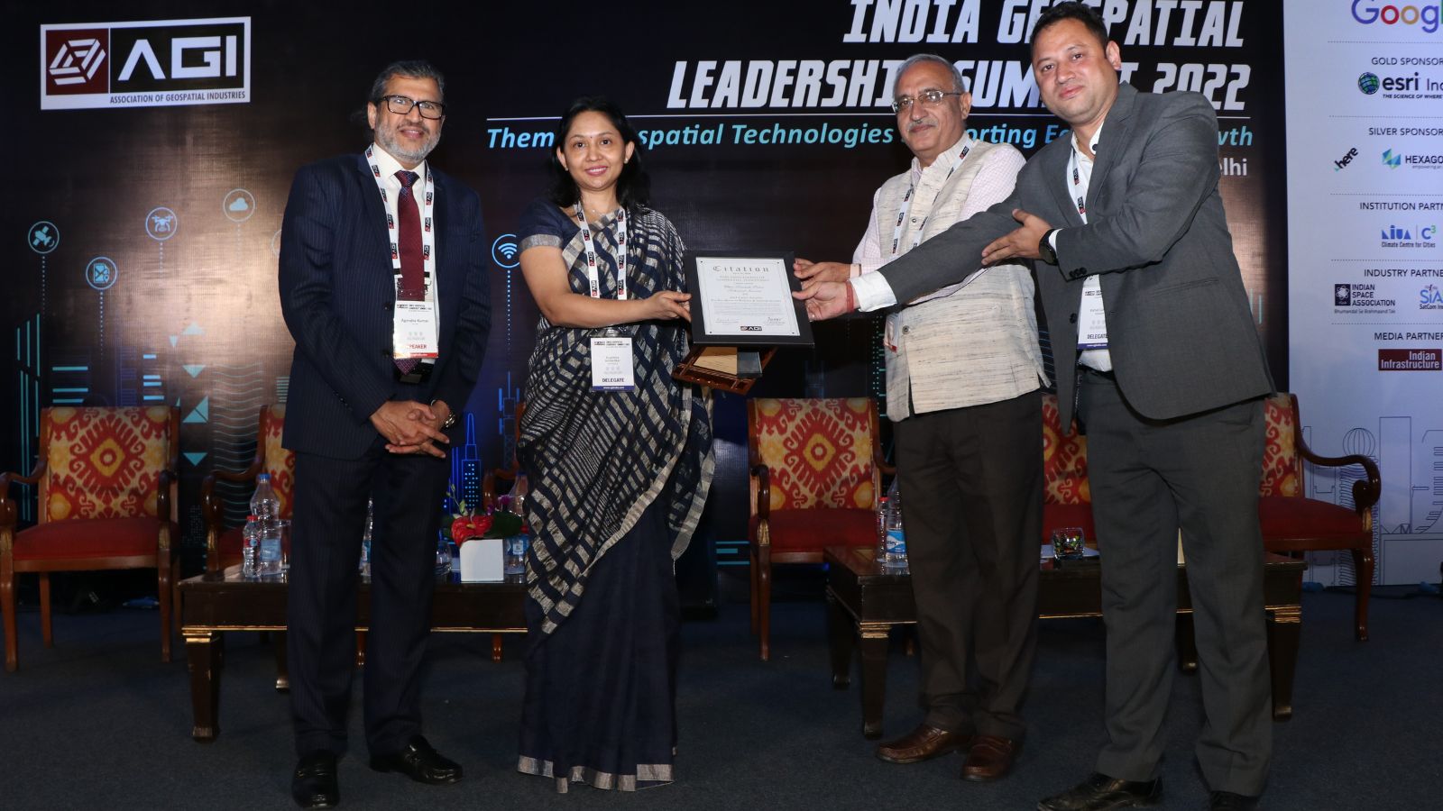
2022 AGI Excellence Awards Winners
Award for Excellence in Land Administration
Department of Land Resources, Ministry of Rural Development, Government of India

Unique Land Parcel Identification Number (ULPIN) and Integrated Land Information Management System (ILIMS) under the Digital India Land Records Modernization Programme (DILRMP)
The ULPIN and ILIMS projects were conceptualized under the Digital India Land Records Modernization Programme (DILRMP) by the Department of Land Resources, Ministry of Rural Development, Government of India, as modern advancements to the programme. While the primary objective of the ULPIN project is to generate new land records and update existing ones based on the mirror principle, where cadastral records mirror the ground reality, the ILIMS aims at improving real-time land information, optimizing resources, and assisting in policy & planning.
DILRMP uses a combination of Remote Sensing, Satellite Imagery, Surveying & Mapping, Positioning Technology, Hybrid Aerial Photography with Ground Truthing, and GIS. As a result of freely accessible data, there is a substantial reduction in land disputes, more accountability in land governance, greater accuracy in survey/resurvey works, cost and time savings, and more efficient workflows.
Award for Excellence in Water Resources
National Mission for Clean Ganga, Ministry of Jal Shakti

Rejuvenating the Riverine Ecosystem: The Namami Gange Programme
Guided by a holistic approach, the focus of the National Mission for Clean Ganga’s flagship programme – Namami Gange – has been on the riverine ecosystem, including components such as pollution abatement, solid and liquid waste management, biodiversity, afforestation, wetland conservation, agribusiness, groundwater management, and so on. Four pillars of interventions – Nirmal Ganga (Unpolluted Flow), Aviral Ganga (Unrestricted Flow), Jan Ganga (People River Connect), and Gyan Ganga (Research and Knowledge Management) – have been identified and implemented for the restoration, conservation, and rejuvenation of River Ganga.
Technologies like LiDAR, GIS, positioning, and drones were used for monitoring river pollution, policy development research, water resource management, spatial planning, basin management, and mapping of river corridors, water bodies, biodiversity and resources, aquifers, climate scenarios, and spring rejuvenation.
Award for Excellence in Mapping for Development
National Informatics Centre, MeitY

Empowering Digital India: The National Image Web Service & Bharat Maps
Bharat Maps by the National Informatics Centre (NIC) supports the Indian government’s Digital India initiative that is transforming India into a digitally empowered society. A multi-layer integrated GIS Platform was created to provide seamless access to data as a service for various Mission Mode projects and e-gov divisions of NIC at the Central and State level.
It uses 1:50,000 scale reference data from Survey of India, ISRO, FSI, RGI, and others, comprising 23 layers of spatial information. As part of Bharat Maps, NIC created a national image web service of natural color products and imagery published as a map service to Bharat Maps. Bharat Maps has resulted in several benefits for government departments, including resource optimization, workflow improvement, cost/time saving, etc.
Award for Excellence in Defence & Internal Security
Uttar Pradesh Police Technical Services
Simplified Crime Analysis: UP Police Crime and Criminal Network Tracking System (CCTNS)
With an aim to facilitate the mapping of various types of crime data for both citizen and departmental access, the UP Police Technical Services undertook the comprehensive CCTNS project. A state-of-the-art mobile application was developed that enables simplified analysis of crimes across zones, which in turn helps in effectively planning countermeasures.
Nearest police officials are automatically detected during any incident, along with relaying the frequency at which they can reach the crime spot. All rungs of the police system, up to the DG level, can access crime-related insights and analytics with a single click.
Award for Excellence in Agriculture
Agriculture Insurance Company of India Ltd (AICIL)
Speedy Crop Insurance to Farmers: PM Fasal Bima Yojana Implementation
Pradhan Mantri Fasal Bima Yojana: Crop Insurance is an integrated IT solution and a web-based ecosystem to provide speedy insurance services to farmers. It facilitates in compensation of farmers for damages to their crops. Agriculture Insurance Company of India Limited used Artificial Intelligence-based Digital Image processing and classification for automated analytics of crop health, density, acreage and condition, accurate change detection, classification, crop insurance, watershed, irrigation, planting, etc. through satellite & drone imagery, and on the fly heat/density and spatial interpolation on existing geotagged information.
These solutions have resulted in timely claim settlement of farmers, insurance for farmers, development of digital records of crop acreage, yield, classification, growth, etc.
Award for Excellence in Urban Management
Punjab Municipal Infrastructure Development Company (PMIDC)

Effective Urban Management: The GIS Singularity Project
The Integrated Command and Control Centre (ICCC) at Punjab Municipal Infrastructure Development Company (PMIDC) is the GIS backbone based on which multiple ground-breaking e-Governance interventions have been designed. Traditional geospatial techniques were used, integrating them with data coming from Management Information Systems, drone maps, mobile applications, chatbots, and more.
In the end, a layer of intelligent AI/ML analytics was built to enable the usage of select data points for effective decision-making. An anonymized version is also made available to the public to maintain transparency. The system relies on creating data interoperability in siloed data sets, thereby, creating long-term savings on cost and one reliable truth. It has resulted in significant benefits, including increased revenue from property tax, Covid19 management, AMRUT cities water networks management, and Slum Proprietary rights with Basera.
Award for Excellence in Disaster Management
Karnataka Remote Sensing Applications Centre (KSRSAC)

Early Warning Mechanism for Concerning Areas: Forest Fire Monitoring & Analysis
Karnataka State Remote Sensing Applications Centre (KSRSAC) used remote sensing sensors to detect a total of 3,98,774 forest fires since November 2020. Satellite-based remote sensing technology and GIS tools were used effectively for better prevention and management of fires for creating a dynamic information system including an early warning mechanism for fire-prone areas, monitoring fires on a real-time basis, and estimating burn scars.
The best available satellite imagery/UAV technology was deployed to aid active fire mitigation efforts in lesser time and monitor regrowth patterns. Data was prepared, collated, and disseminated from far and near for use by the Karnataka Forest Department and other concerned departments of the Government of Karnataka.
Award for Excellence in Governance
Maharashtra Remote Sensing Applications Centre (MRSAC)
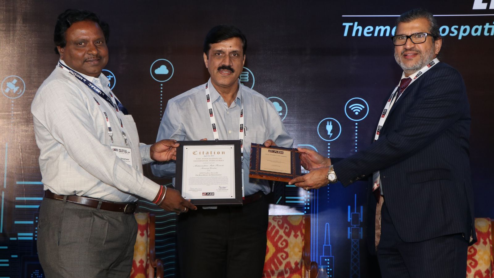
Large Scale Mapping of Resources: MAHABhumi
The Maharashtra Remote Sensing Applications Center (MRSAC), Nagpur, conducted a Large-Scale Mapping project at 1: 2000/4000 scale for the entire state, including digital elevation model and ortho mosaic generation along with mapping of various resources. All outputs are being shared with all State Government departments and will further be published for government use.
The project is laying the foundation for the Spatial Data Infrastructure (SDI) for the state of Maharashtra in the form of a Geo-Portal in alliance with beneficiary departments. This integrated SDI will act as a Decision Support System for the State Government, eliminating duplication efforts, saving costs and time, and improving workflows.
Award for Excellence in Infrastructure Development
National Highways Authority of India
On the Way to Complete Workflow Analysis: NHAI Construction and Assets Monitoring
As a robust solution for monitoring its construction projects, operations, and various assets, the National Highways Authority of India (NHAI) deployed aerial mapping & videography, photogrammetric ortho imaging, land audits, and 3D land mapping using drones. UAVs were used for data capture of National highways and toll plazas, and this data was interlaced with timestamps, geographic coordinates, structural information, and dynamic chainage.
The progress was monitored at monthly intervals to check their alignment with various NHAI Guidelines dictating Rights of Way for greenfield and under construction routes and to identify encroachments, land issues, blackspots, and hindrances.
The geo-tagged details and videos will be uploaded on the Data Lake Portal for analyzing complete project workflows, identifying discrepancies, determining budgetary allocations, and ensuring dispute resolutions.
