
Transforming Agricultural Insurance with Geospatial Crop Monitoring in 2025
Agriculture in India has always been a story of resilience. Every harvest carries both hope and risk—hope for a good yield and fair returns, but also the risk of unpredictable weather, pest attacks, or natural disasters wiping it all away. Insurance schemes like the Pradhan Mantri Fasal Bima Yojana (PMFBY) were designed to act as a safety net for farmers, but for years they struggled with delays, disputes, and inefficiencies. By 2025, however, the landscape is changing.
The rise of geospatial crop monitoring, powered by high-resolution satellite data, artificial intelligence, and digital field surveys, is reshaping the way agricultural insurance works in India. Today, farmers, insurers, and governments can rely on the same transparent and real-time data to ensure claims are settled more quickly and fairly. This shift is not just about technology—it is about rebuilding trust in crop insurance and giving farmers greater confidence in the system.
High-Resolution Satellite Monitoring for Yield Prediction
One of the biggest breakthroughs has been the use of high-resolution satellite imagery for crop monitoring. Satellites like Sentinel-2 provide frequent, detailed images of farmlands across the country. These images are processed using AI-driven analytics to estimate crop health, growth stages, and likely yields.
Under PMFBY, yield prediction has always been a challenge, since manual crop cutting experiments (CCEs) often involved delays and were prone to disputes. With satellite-based monitoring, the entire process is faster and more objective. By comparing vegetation indices and growth patterns across different regions, insurers can now assess crop performance in near real-time. This has allowed claims to be processed much earlier than in the past, reducing the uncertainty farmers faced after a bad season.
The Rise of Digital Crop Cutting Experiments
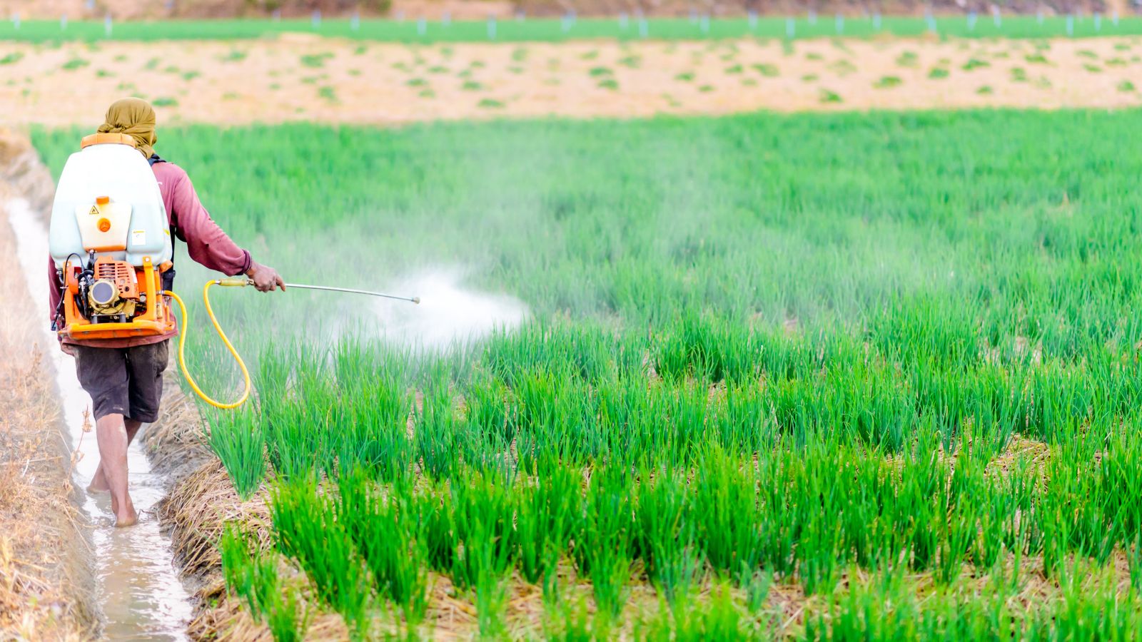
While satellites provide a broad picture, accurate ground validation remains crucial. This is where digital crop cutting experiments, or dCCEs, have become a game-changer in 2025. Instead of relying solely on manual, paper-based records, enumerators now use mobile apps to record data, capture geotagged images, and upload results instantly.
Artificial intelligence then cross-verifies this field data with satellite observations, flagging any inconsistencies. For example, if enumerators report high yields but satellite images show poor vegetation, the system raises an alert for further inspection. This has greatly reduced errors, minimized opportunities for manipulation, and added a new level of transparency to the claims process.
By 2025, digital CCEs are also helping policymakers understand crop losses due to localised events such as pest outbreaks or flooding, which often went unnoticed in older reporting systems. The granularity of these insights ensures that support reaches the farmers who need it most.
How States are Leading the Way
The adoption of these technologies is not just a national-level effort—states are playing a crucial role in implementation. Haryana, for instance, has developed advanced geospatial dashboards for crop monitoring and PMFBY audits. These dashboards allow officials to track
sowing patterns, crop stress, and yield forecasts across districts in real-time. The data is also being used to direct resources such as irrigation or fertilizer support to areas showing early signs of distress.
Madhya Pradesh has gone a step further by integrating AI-powered analytics directly into its insurance processes. Claims submitted by farmers are now validated through a mix of digital CCEs and satellite-backed monitoring, cutting down the time taken for approval. This has significantly reduced disputes between farmers and insurers, and the speed of claim settlement has improved.
These state-level innovations highlight how local governments can adapt national schemes like PMFBY to the specific needs of their farmers, while ensuring better accountability.
Crop Insurance Portal 2025: A New Benchmark
The launch of the Crop Insurance Portal 2025 has been one of the most important developments this year. Unlike earlier portals that mainly served as registration platforms, this new version integrates multiple geospatial layers with farmer records.
The portal now brings together cadastral maps, farmer enrollment data, and real-time satellite imagery on a single dashboard. Farmers can log in to check the status of their claims, while insurers and officials can validate them against independent geospatial data. This has made the system far more transparent and reduced the scope for disputes.
For example, if a farmer in Madhya Pradesh reports crop damage due to drought, officials can quickly verify the claim against satellite indices of soil moisture and vegetation health. This reduces the back-and-forth process that often delayed compensation. Farmers now have more visibility into the process, which builds trust and confidence in the scheme.
Challenges That Remain
Despite these advancements, several challenges still remain in 2025.
The first is scalability. India has millions of small and marginal farmers spread across varied agro-climatic zones. Processing satellite data at this scale requires enormous computing power, and integrating it with ground data continues to be a complex task.
The second challenge lies in matching satellite data with field realities. Mixed cropping, intercropping, and local variations can sometimes confuse automated systems. While AI has improved significantly, there are still cases where field validation becomes essential.
Another major issue is farmer awareness. While portals and dashboards are powerful tools, many farmers are still not fully familiar with them or lack the digital access to use them effectively. Bridging this digital divide will be crucial to ensuring that these technologies benefit all farmers, not just those with better connectivity.
Finally, claim redressal needs to remain transparent. While technology has reduced disputes, there are still cases where farmers feel their claims have not been fairly assessed. Building robust grievance redressal mechanisms alongside digital systems is key to sustaining trust.
Looking Ahead
The transformation of agricultural insurance in 2025 is already visible. Farmers are experiencing faster payouts, insurers have more reliable data to work with, and governments are better equipped to monitor and plan.
Yet, this is only the beginning. As computing power grows and AI models become more sophisticated, India has the opportunity to set a global benchmark for using geospatial technology in agricultural finance. The integration of satellites, AI, and digital validation is not just about efficiency—it is about creating a safety net that truly supports farmers when they need it the most.
By addressing the challenges of scale, awareness, and transparency, India can ensure that the promise of technology reaches every farmer, from the smallest landholder in Madhya Pradesh to the large-scale cultivator in Haryana. If this vision is realized, agricultural insurance will no longer be seen as a bureaucratic hurdle, but as a genuine tool of resilience for one of the most vital sectors of the Indian economy.

Leave a Comment