
Smart Governance in Gram Panchayats through Geo-Enabled Planning
In India’s ambitious pursuit of localised and accountable governance, Gram Panchayats stand at the frontline of delivering services and development directly to rural communities. As of 2025, these institutions are rapidly evolving with the help of advanced technologies such as Geographic Information Systems (GIS), which are revolutionising how local governments design, execute, and monitor their annual Panchayat Development Plans (GPDPs). Far beyond physical infrastructure, this transformation is about fostering a culture of responsive, data-backed, and transparent decision-making.
Strengthening GPDPs through Spatial Planning
Gram Panchayat Development Plans serve as village-level blueprints, identifying local priorities through a participatory framework. Historically, these plans were often reliant on verbal consultations and fragmented records. The integration of GIS has addressed these challenges by providing Panchayats with spatially accurate, real-time data.
Through visual dashboards and interactive mapping tools, Panchayats can now access details about existing amenities, population spread, and service coverage. For example, gaps in health coverage, road connectivity, or sanitation infrastructure can be visualised on GIS layers, helping ensure that funds are directed where they are most needed.
The e-Gram SWARAJ portal, a flagship initiative of the Ministry of Panchayati Raj, has become the backbone for digital governance at the Panchayat level. It brings planning, budgeting, and accounting together into a single platform. Integrated GIS layers on the portal enable real-time monitoring of activities and geo-tagging of assets, improving transparency and accountability in local governance.
Gram Manchitra 2.0 and SVAMITVA: Foundational Technologies
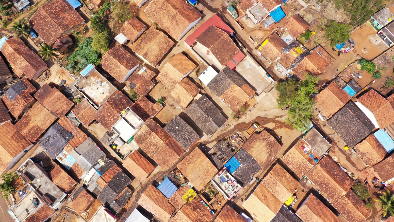
A game-changer in this ecosystem is Gram Manchitra Portal 2.0, launched in 2024. This upgraded spatial planning tool empowers Panchayats to map resources, assess gaps, and plan service delivery. Integrated with national databases, the portal offers seamless access to spatial layers covering schools, water sources, health facilities, anganwadis, and road networks.
Simultaneously, the SVAMITVA scheme—which uses drone-based cadastral mapping—has digitised land ownership in over 3.2 lakh villages by 2025. By issuing more than 2.42 crore property cards, the initiative not only resolves boundary disputes but also empowers landowners and enables Panchayats to plan development without ambiguity over land ownership.
Both tools together offer a robust digital foundation. While Gram Manchitra provides the planning lens, SVAMITVA offers legal and spatial certainty. Their synergy ensures that GPDPs are not just vision documents but grounded, implementable strategies.
Transformative Applications: Governance Reforms in States
Chhattisgarh has become a benchmark in GIS-enabled planning for rural governance. The state has integrated Gram Manchitra with state-level Panchayat data, using GIS to monitor fund utilisation, ensure need-based targeting, and avoid duplication of schemes. With the help of the Chhattisgarh State Remote Sensing Centre, Panchayat-level staff are being trained to use spatial data in day-to-day governance.
In Telangana, initiatives like Palle Pragathi and Mission Bhagiratha are being enhanced through GIS. Drainage, water pipelines, and village-level green planning under Haritha Haram are now supported by mapped infrastructure data, which allows better convergence of centrally sponsored schemes with state programmes. The Telangana State Remote Sensing Applications Centre plays a key role in providing the GIS backbone.
These examples highlight a key shift: GIS is no longer limited to back-end planning or satellite mapping. It is now embedded into the day-to-day decisions of elected Panchayat members and field staff.
Case Study: Mission Antyodaya’s GIS-Driven Convergence
One of the most effective examples of convergence through GIS is Mission Antyodaya, which tracks developmental indicators across Gram Panchayats. As of 2025, data from more than 2.6 lakh Panchayats has been integrated with the Gram Manchitra Portal 2.0.
Assets created under schemes like MGNREGA, PMAY-G, and NRLM are now geo-tagged and layered onto these maps. This allows planners to spot overlaps, service gaps, and even monitor the lifecycle of an asset. By 2025, over 5.6 million geo-tagged assets are helping inform GPDPs in real time.
Moreover, the visualisation of Mission Antyodaya’s survey data on Gram Manchitra enables district and block-level officials to monitor progress across sectors, ranging from basic education and drinking water to agriculture infrastructure and connectivity. This has not only increased the accountability of Panchayats but also improved the efficacy of fund utilisation.
Institutional Challenges to Scale and Sustainability
Despite progress, several structural and technical barriers remain:
- Inconsistent Land Records: The absence of uniformly updated land records still hampers complete integration with cadastral maps, even as SVAMITVA progresses.
- Skilled Human Resources: Many Panchayat-level staff lack training in interpreting spatial data. GIS adoption requires sustained training and locally available technical help.
- Connectivity Constraints: Low bandwidth or digital illiteracy can reduce access to platforms like e-Gram SWARAJ in remote areas, especially during real-time data entry.
- Standardisation of Data: Disparate formats across schemes and departments create interoperability issues, which may hinder seamless data integration.
Building Future-Ready Panchayats
To fully realise the potential of GIS in local governance, a few critical steps must be prioritised:
1. Continued Expansion of SVAMITVA: Unmapped villages must be covered, and regular updates to cadastral maps should be institutionalised.
2. Investing in Local Capacity: A decentralised cadre of trained GIS technicians and ongoing orientation for Panchayat members is essential.
3. Digital Infrastructure: Investment in broadband infrastructure, offline-compatible systems, and user-friendly mobile applications can bridge accessibility gaps.
4. Policy Harmonisation: Unified standards for data collection, sharing, and analysis across rural development schemes will enhance GIS adoption.
As these foundations solidify, Gram Panchayats will increasingly function as autonomous planning units capable of delivering real-time, inclusive governance.
Conclusion
India’s path toward smart, self-reliant rural governance is being strengthened by the widespread application of GIS at the Panchayat level. This is not just about mapping land or assets—it is about empowering local institutions to make informed, transparent, and people-centred decisions.
Through platforms like Gram Manchitra 2.0 and e-Gram SWARAJ, and supported by initiatives like SVAMITVA and Mission Antyodaya, governance at the grassroots is undergoing a silent but steady revolution. With each new Panchayat that accesses spatial data to design a better water supply, map an underserved hamlet, or monitor development schemes, India takes a step closer to true decentralised development.
As we look beyond 2025, the priority must be to institutionalise these tools, scale digital equity, and foster an ecosystem where geo-governance becomes the norm—not the exception—in rural India.


Leave a Comment