
Real Time Monitoring of Land Use Change for Policy Decisions
India’s cities are expanding faster than ever before. The boundaries of metropolitan areas are continuously pushing outward, transforming farmlands, forests, and open spaces into residential, commercial, and industrial developments. This rapid growth, while a marker of progress, often brings challenges related to unplanned urbanisation, environmental degradation, and regulatory non-compliance. In many cities, especially in peri urban zones, construction begins before regulatory permissions are secured, making it difficult for authorities to track, assess, and intervene in time.
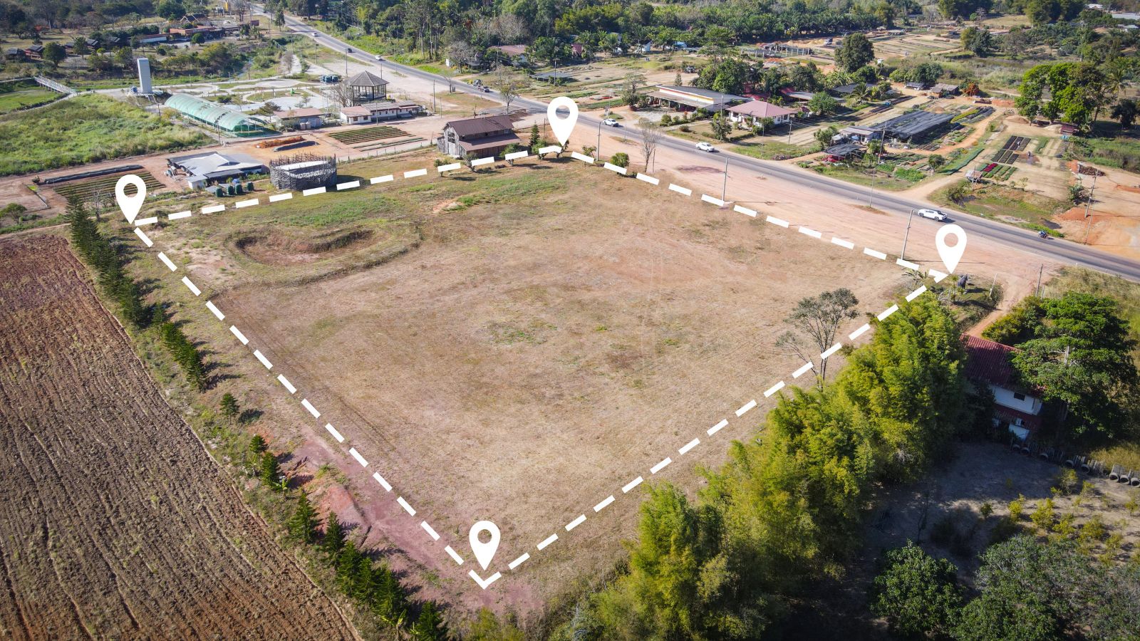
To manage this complex dynamic, real time monitoring of land use change has become a crucial governance tool. Geospatial technologies, through satellite imagery, spatial analytics, and cloud-based dashboards, are now enabling policymakers to visualise and respond to land transformations as they happen. The ability to detect, analyse, and manage change in near real time is reshaping how cities plan, enforce, and grow.
Understanding the Importance of Land Use Change Monitoring
Land is a finite and invaluable resource, central to the country’s economic and social fabric. As India urbanises, demand for land across sectors has intensified, and with it, the challenge of ensuring planned and sustainable growth. Without reliable, up-to-date spatial information, urban expansion can easily outpace planning efforts, resulting in encroachment on green zones, loss of agricultural land, and stress on infrastructure and services.
Monitoring land use change is therefore vital for informed policymaking. Geospatial monitoring offers authorities the ability to see what is happening on the ground with precision and timeliness. It helps identify newly developed built-up areas, assess whether growth aligns with approved master plans, and detect unauthorised or environmentally harmful developments. Real time information also strengthens regulatory compliance and improves the accountability of multiple agencies involved in urban governance.
The Role of Geospatial Technologies in Real Time Monitoring
Advances in remote sensing and GIS have transformed how land use is monitored and managed. The National Remote Sensing Centre (NRSC) under ISRO has been at the forefront of this transformation through its Bhuvan platform, which provides access to high-resolution satellite imagery, thematic maps, and analytical tools. One of its flagship resources, the Bhuvan Urban Expansion Atlas, has been instrumental in mapping the growth of built-up areas across major Indian cities. By analysing multi-temporal satellite data, planners can see how urban footprints have evolved and identify where policy interventions are needed.
Modern change detection techniques, such as change vector analysis, image differencing, and machine learning classification, allow continuous assessment of land transformations. These analytical methods are increasingly integrated into cloud-based GIS dashboards, which provide live visualisation of spatial data. Such dashboards empower urban managers to monitor real time changes, correlate them with zoning boundaries, and issue alerts when deviations occur.
Artificial intelligence is also adding predictive power to geospatial monitoring. AI models trained on historical land use data can forecast where expansion is likely to occur next, allowing authorities to plan infrastructure and services proactively. This integration of AI and geospatial analytics is creating a new dimension of governance, where data not only describes reality but anticipates it.
Monitoring Growth in Delhi NCR and Bengaluru
The value of real time land use monitoring is evident in rapidly growing regions such as Delhi NCR and Bengaluru. The National Capital Region, encompassing Delhi and its surrounding districts, is one of the fastest-expanding urban areas in Asia. Using satellite-derived data, planners are now able to track urban growth patterns around Gurugram, Ghaziabad, and Sonipat with much greater precision. Spatial monitoring helps authorities identify where agricultural or forest land is being converted to built-up areas, assess compliance with master plans, and manage infrastructure accordingly.
In Bengaluru, known as India’s technology hub, urban expansion has been equally intense. The city’s development agencies, including the Bengaluru Development Authority and Bruhat Bengaluru Mahanagara Palike, have increasingly turned to geospatial workflows for monitoring. Change detection analysis has helped identify encroachments on stormwater drains, lake beds, and buffer zones, enabling timely regulatory action. Such evidence-based monitoring has proven critical in addressing challenges such as urban flooding and unregulated real estate development.
These case examples demonstrate that geospatial monitoring is not limited to data collection. It provides actionable intelligence that supports day-to-day governance, ensuring that cities expand in a planned and environmentally responsible manner.
Case Study: MoHUA’s Geo Spatial Urban Monitoring Dashboard 2025
At the national level, the Ministry of Housing and Urban Affairs has introduced the Geo Spatial Urban Monitoring Dashboard, a pioneering platform that integrates satellite imagery, urban planning data, and progress metrics from flagship missions like AMRUT 2.0 and Smart Cities Mission. The dashboard offers real time insights into how cities are developing, highlighting areas of rapid land use change and providing alerts on potential non-compliance with master plans.
By visualising spatial data on urban growth, infrastructure projects, and land conversions, the dashboard allows policymakers to track both the pace and direction of urbanisation. This comprehensive view supports data-driven policy decisions, enhances interdepartmental coordination, and ensures that urban expansion aligns with national sustainability goals. The initiative underscores MoHUA’s commitment to using geospatial intelligence as a cornerstone of evidence-based governance.
Overcoming Challenges in Implementation
While the potential of geospatial monitoring is immense, several challenges remain in achieving seamless real time updates. One major hurdle is the temporal frequency of satellite imagery. Cloud cover, sensor limitations, and revisit intervals can delay image acquisition and affect accuracy. The integration of data from multiple satellite sources and aerial platforms, including drones, is helping to bridge this gap.
Institutional coordination also presents challenges. Land records, planning, and environmental departments often operate independently, creating data silos. For real time monitoring to be truly effective, these departments must share information and operate on a unified spatial platform. Establishing standardised data governance protocols is essential to achieving this interoperability.
Citizen participation is another crucial but underused component. With mobile-based GIS applications, residents can contribute on-ground observations, report unauthorised construction, and help validate satellite data. Crowdsourced information not only enhances accuracy but also promotes transparency and civic engagement.
Future Directions: Predictive, Integrated, and Inclusive
The next stage in real time land use monitoring lies in predictive analytics and integration with smart urban systems. By combining satellite observations with Internet of Things sensors and 3D city models, future monitoring platforms will provide multi-dimensional insights into how cities evolve. Predictive modelling will enable planners to anticipate the impacts of proposed projects and assess how future urban expansion might affect water, transport, and energy systems.
Open access to geospatial data will further democratise decision making. When public dashboards are available, citizens, researchers, and local organisations can actively engage with planning data, enhancing accountability. Capacity building will also play a pivotal role. Training municipal officers, planners, and policymakers in GIS and spatial analysis ensures that technological advancements translate into tangible governance outcomes.
Conclusion
Real time monitoring of land use change is transforming the landscape of urban and regional governance in India. The combination of satellite imagery, GIS analytics, and cloud-based dashboards has made it possible to monitor urban expansion as it happens, improving transparency, compliance, and decision-making. From Delhi NCR to Bengaluru, geospatial technologies are enabling cities to manage growth sustainably, protect natural assets, and enforce planning norms more effectively.
National initiatives like MoHUA’s Geo Spatial Urban Monitoring Dashboard are setting a new benchmark for data-driven governance, where policy decisions are informed by spatial intelligence rather than delayed field reports. As India’s cities continue to expand, the integration of geospatial data into everyday policymaking will be essential to achieving sustainable, inclusive, and well-regulated urban growth.
In the era of rapid urbanisation, the ability to see, understand, and act upon land use change in real time is no longer optional, it is the foundation of resilient urban governance.


Leave a Comment