Blog


India’s urban growth story is both inspiring and complex. While cities continue to drive economic progress, they also face widening …

India’s cities are expanding faster than ever before. The boundaries of metropolitan areas are continuously pushing outward, transforming farmlands, forests, …
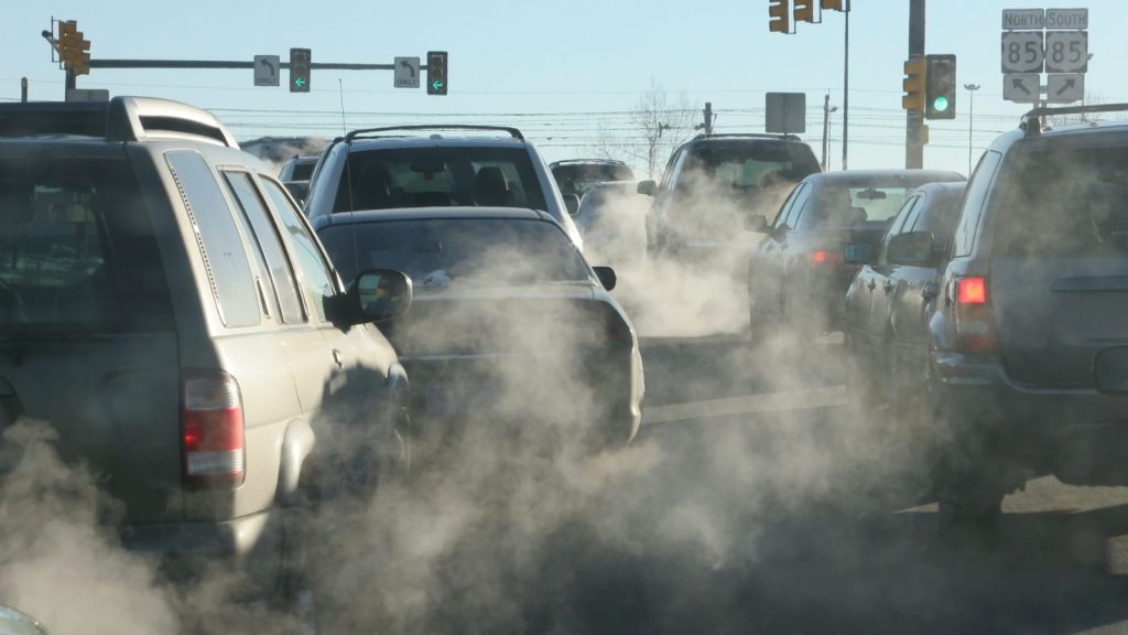
Air pollution has become a pressing concern in India’s Tier-2 and Tier-3 cities. Urban centers such as Agra and Patna …
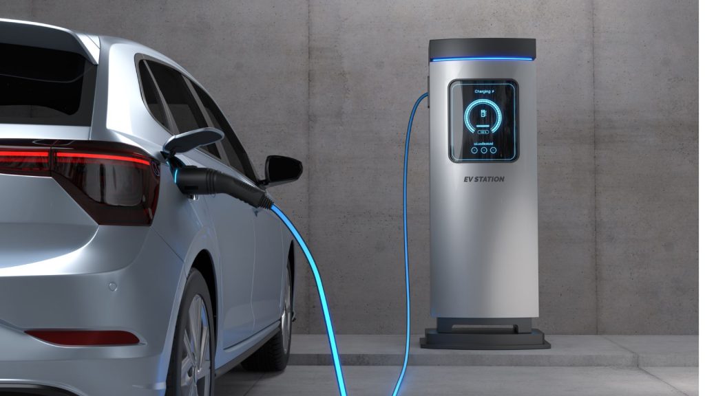
India’s electric vehicle (EV) ecosystem is witnessing rapid growth, fueled by government initiatives such as the Faster Adoption and Manufacturing …

India, with its millennia-old history, is home to thousands of cultural and heritage sites that reflect the country’s rich traditions, …

Agriculture in India has always been a story of resilience. Every harvest carries both hope and risk—hope for a good …