Blog

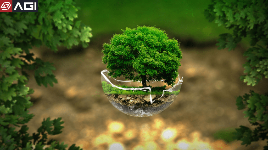
Natural resources are the backbone of our planet’s well-being, providing us with essential materials and supporting numerous ecosystems. The responsible …

After clearance by the Union Cabinet on April 6, the details of India’s much-awaited Space Policy 2023 finally arrived last …

India’s recently announced National Geospatial Policy 2022 embraces the United Nation’s Integrated Geospatial Information Framework (IGIF). The document highlights: “The …

Effective land administration is a major precursor to the proper management of natural resources, residential and commercial developments, as well …
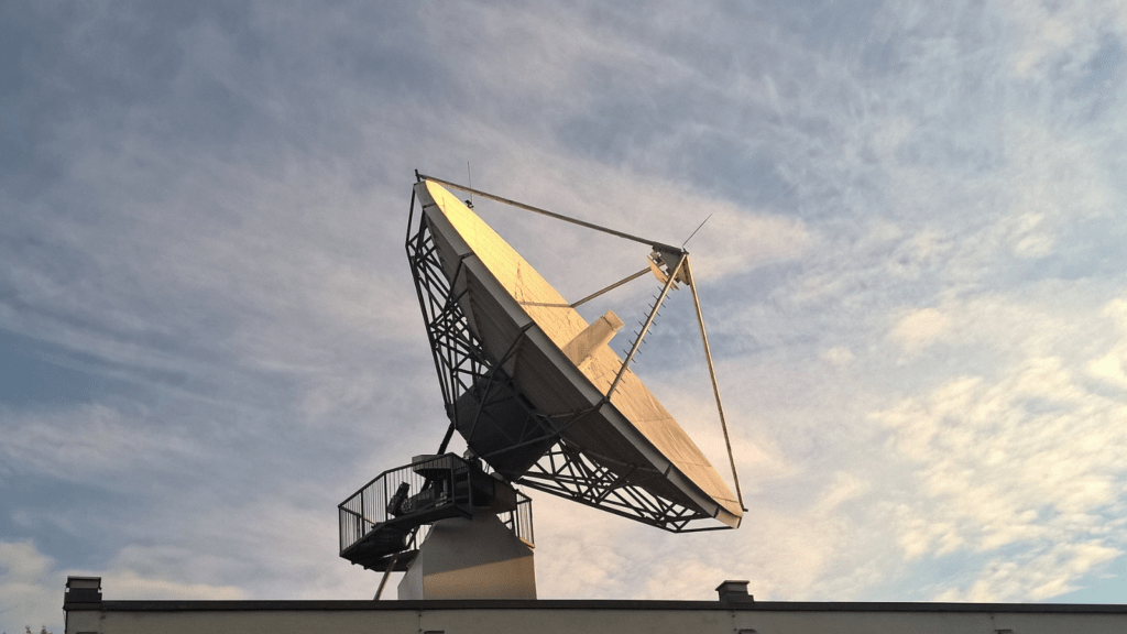
Global Navigation Satellite System, or GNSS Technology, has completely changed the field of surveying. GNSS comprises a network of satellite …

Water is among the most valuable natural resources on the planet, critical for not just human civilization and ecosystems to …