Articles

img
Integrated GIS and BIM technologies can seamlessly interconnect data between worksites, workers and equipment, thus creating a free flow of information across the project lifecycle; Source: Wikimedia Commons

GeoBIM for Digital Architecture: Integrated GIS and BIM Technologies for Sustainable Project Delivery in the AEC Industry | Geospatial World

The rapid expansion of global infrastructure resulting in accelerated construction and engineering projects demands a comprehensive assessment of the AEC …

Read More
Geospatial for Agriculture and Fisheries

State-of-the-art Geospatial Solutions to Transform Agriculture and Fisheries in India | Sakshi Singh, AGI

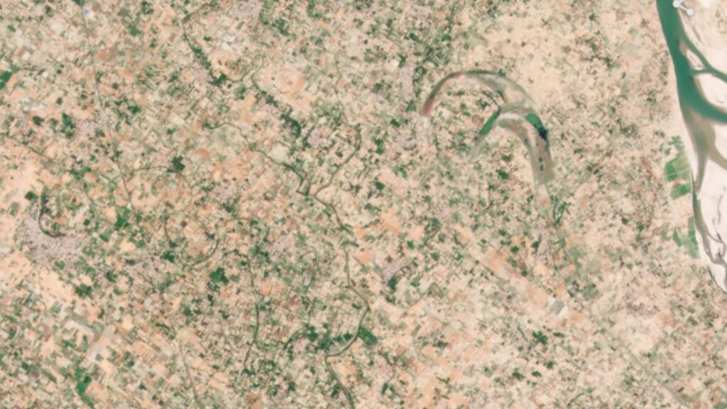
India has the second-largest arable area in the world and boasts of a long and indented coastline. For a country …

Read More
Maxar Weatherdesk Article

Managing Weather Risk in Agricultural Production | Kyle Tapley, Meteorologist, Maxar

Weather variability is one of the major drivers of change when it comes to crop yields and crop production from …

Read More
Planet Labs Article

Top 5 Misconceptions About Satellite Imagery for Agriculture | Planet Labs

Having partnered with leading agricultural companies over the years, Planet has gained a window into the day-to-day challenges, concerns, and …

Read More

Subscribe Newsletter

To get more updates subscribe our newsletter