
Space-Based Agriculture Insurance Verification under PMFBY
Agricultural insurance verification in India is undergoing a structural transition under the Pradhan Mantri Fasal Bima Yojana (PMFBY), where traditional Crop Cutting Experiments (CCEs) and manual field surveys are being progressively strengthened through Satellite Earth Observation (EO), Geographic Information Systems (GIS), drones, and artificial intelligence-based analytics.
As of 2025–2026, this shift represents not a replacement of existing systems but an operational evolution into a hybrid geospatial intelligence framework. In this framework, Earth Observation data and GeoAI models function as decision-support layers that enhance the speed, consistency, and spatial accuracy of crop loss assessment.
The focus is shifting from isolated field sampling toward continuous monitoring of agricultural landscapes at scale, enabling insurance systems to respond more effectively to climate-induced risks.
Satellite Earth Observation as the Foundation of Crop Monitoring Systems
Satellite remote sensing now forms the foundational layer of PMFBY’s evolving verification architecture. India’s operational Earth Observation ecosystem for agriculture includes Sentinel-1 Synthetic Aperture Radar (SAR), Sentinel-2 optical imagery, ISRO Resourcesat missions, and MODIS time-series datasets. These multi-source datasets enable continuous monitoring of crop conditions across large agricultural regions. Vegetation indices such as NDVI and EVI, along with SAR backscatter signals, are used to assess crop growth patterns, soil moisture variability, flood extent, drought stress, and phenological changes across seasons.
Within PMFBY workflows, satellite data is increasingly used for crop acreage estimation, identification of prevented sowing areas, monitoring of mid-season crop stress, and prioritization of field inspection zones. The primary value of Earth Observation lies in providing a spatially consistent and repeatable evidence layer that reduces reliance on purely sample-based field assessments while improving transparency in insurance unit-level evaluation.
GeoAI and YES-TECH Framework for Technology-Driven Yield Estimation
A major advancement in PMFBY modernization is the introduction of the YES-TECH (Yield Estimation System using Technology) framework, which integrates satellite observations, agro-climatic variables, historical yield datasets, and Crop Cutting Experiment inputs into statistical and machine learning models. As of 2025–2026, YES-TECH is operational across multiple states for key crops such as paddy, wheat, and soybean, where satellite-derived inputs contribute to yield estimation at the insurance unit level.
The system represents a hybrid model in which remote sensing and AI-based analytics support, rather than replace, statistical estimation mechanisms. Crop Cutting Experiments continue to serve as the legal and statistical foundation for yield validation, while GeoAI and Earth Observation inputs enhance spatial coverage, consistency, and efficiency. Machine learning models under YES-TECH utilize multi-temporal satellite time-series data, weather variables, and historical agricultural datasets to estimate yield deviations and identify spatial patterns of crop performance across heterogeneous agro-climatic regions.
Role of GeoAI in Crop Classification and Risk Clustering
GeoAI systems within PMFBY workflows are primarily used to convert raw satellite imagery into actionable agricultural intelligence. Machine learning models enable crop classification, anomaly detection, yield deviation analysis, and spatial clustering of risk zones. These models process multi-temporal Earth Observation datasets to identify deviations from normal crop phenology and highlight areas requiring field verification.
In operational implementation, GeoAI is increasingly used to prioritize inspection zones rather than replace field verification entirely. This ensures that limited field resources are deployed in areas identified as high-risk or anomalous based on spatial intelligence outputs. However, operational deployments across states indicate the need for improved model transparency, stronger ground truth datasets, and careful calibration across diverse agro-climatic conditions to ensure reliability and stakeholder confidence.
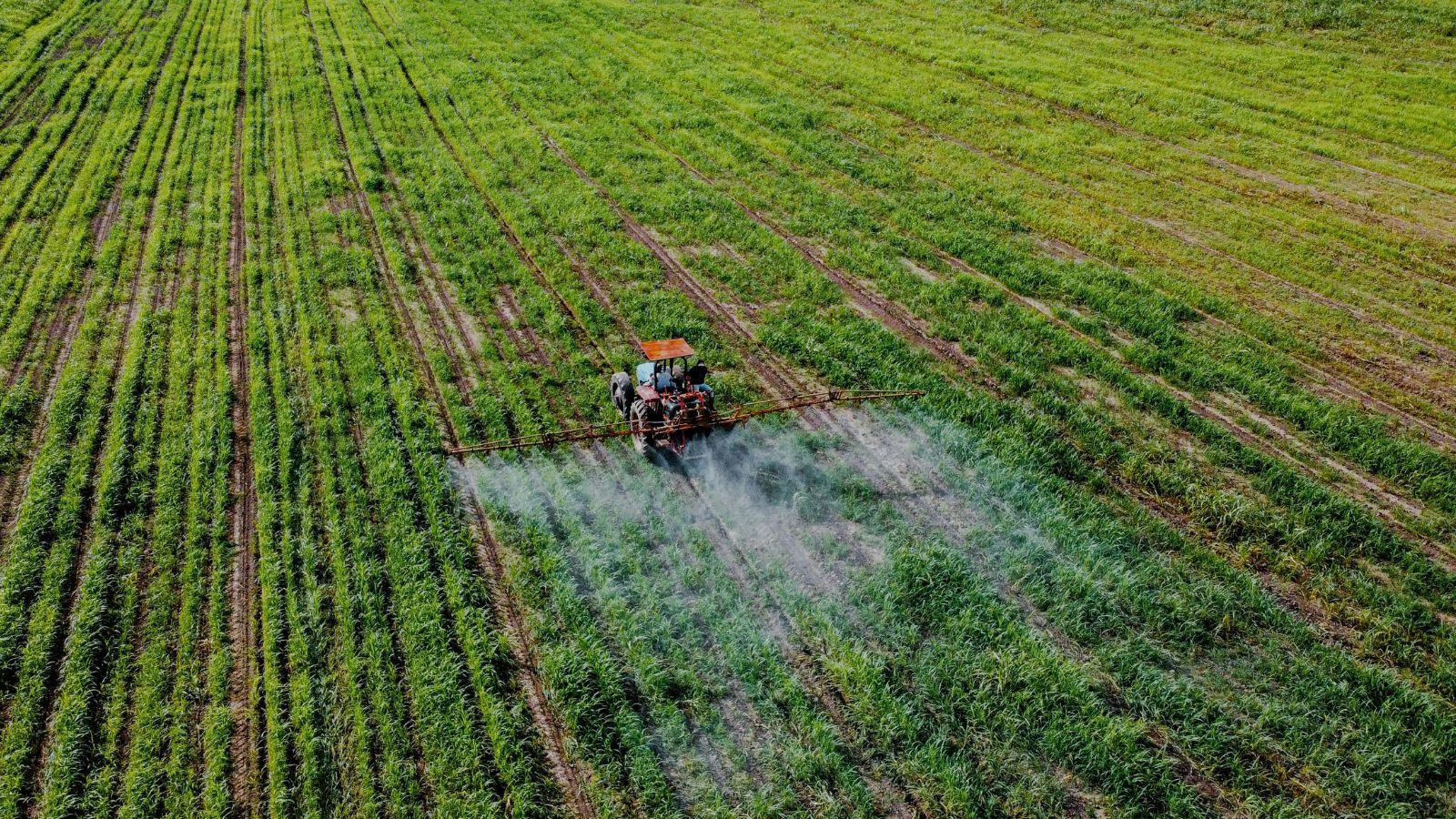
Drone-Based Verification as a High-Resolution Validation Layer
Drone technology is emerging as a critical intermediate layer between satellite observation and ground-level verification. Within PMFBY workflows, drones are primarily used for localized disaster assessment in cases of floods, cyclones, hailstorms, and pest outbreaks where high spatial resolution is required. UAV-based surveys provide centimeter-level imagery that enables precise mapping of crop damage boundaries, estimation of partial losses, and validation of satellite-detected anomalies.
By 2025–2026, drone usage is increasingly structured through standardized operational protocols at the state level, with integration into insurance claim workflows and digital reporting systems. This has enabled the development of a multi-layer verification hierarchy in which satellites identify anomalies, drones validate spatial extent, and field teams confirm ground conditions where necessary.
Maharashtra: Geo-Enabled Insurance Verification and Spatial Prioritization Model
Maharashtra represents one of the more advanced operational implementations of geospatial insurance verification under PMFBY. The state integrates satellite-based crop monitoring, GIS-enabled insurance unit mapping, and mobile-based field verification systems into a coordinated workflow architecture. Satellite imagery is used for pre-season acreage estimation and in-season crop monitoring through vegetation indices and time-series analysis.
Insurance unit boundaries are geo-referenced and aligned with administrative datasets, ensuring spatial consistency in assessment. A key operational feature in Maharashtra is the geo-triggered inspection system, where satellite-detected anomalies and spatial risk clusters generated through analytics determine the prioritization of field inspections. Rather than conducting uniform surveys across all regions, verification teams are deployed selectively in zones exhibiting significant deviations from expected crop conditions.
Mobile-based geo-tagging tools further enhance traceability by linking field observations with spatial coordinates, timestamps, and photographic evidence. This improves auditability, reduces ambiguity in claim assessment, and strengthens the overall transparency of insurance workflows.
Madhya Pradesh: Satellite-AI Hybrid Framework for Yield Estimation
Madhya Pradesh has emerged as a key state in implementing satellite-AI hybrid insurance workflows under PMFBY reforms. The state utilizes Sentinel-2 optical imagery and SAR datasets to generate crop classification maps and monitor vegetation dynamics throughout the agricultural season. These datasets are processed through machine learning models to estimate yield variability and detect anomalies at the insurance unit level.
Insurance units are clustered based on spatial anomaly scores, enabling targeted field verification in high-risk zones rather than extensive blanket sampling. This approach improves operational efficiency while maintaining statistical rigor through selective ground validation. However, operational experience indicates challenges related to variability in model performance across agro-climatic zones, dependence on high-quality ground truth datasets, and the need for transparent communication of AI-based yield estimation outputs to ensure farmer trust and institutional acceptance.
Emergence of a Converged Geospatial Insurance Intelligence Architecture
Across India, PMFBY is evolving into a converged geospatial insurance intelligence system built on four interconnected layers. The first layer is Satellite Earth Observation, which provides continuous monitoring of agricultural landscapes and seasonal crop dynamics. The second layer is GeoAI, which enables predictive modeling for yield estimation, anomaly detection, and risk clustering. The third layer is drone-based validation, which supports high-resolution verification and localized damage assessment. The fourth layer is digital public infrastructure, including insurance portals, geo-tagged mobile applications, and integrated data systems connecting insurers, state governments, and agricultural agencies.
Together, these layers form a continuous spatial intelligence pipeline that enables insurance systems to transition from episodic verification to structured, data-driven risk assessment.
Strategic Implications for the Geospatial Industry
The modernization of PMFBY represents one of the largest operational deployments of geospatial technology in the world. The demand landscape now includes satellite analytics platforms, GeoAI-based crop intelligence systems, drone verification services, cloud-native Earth Observation infrastructure, and integrated insurance decision-support systems. The role of the geospatial industry is expanding beyond mapping and visualization into core financial infrastructure, where spatial intelligence directly influences risk assessment, claim processing, and climate resilience planning.
Conclusion: Toward a Space-Based Agricultural Risk Intelligence System
The evolution of agricultural insurance under PMFBY reflects a broader transformation in India’s approach to managing agricultural risk. Crop insurance is increasingly becoming a geospatial intelligence-driven system in which satellite Earth Observation enables continuous monitoring, GeoAI supports predictive analytics, drones provide high-resolution validation, and field systems ensure statistical and legal robustness. This hybrid model is improving transparency, efficiency, and scalability in insurance verification. For the geospatial industry, this shift marks a defining transition in which Earth Observation and spatial analytics are becoming central to national-scale financial and governance systems, particularly in climate-sensitive sectors such as agriculture.

Leave a Comment