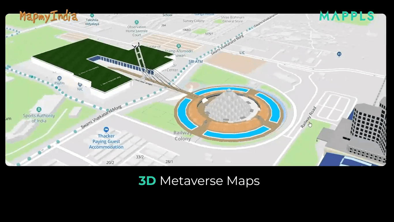
Mappls RealView launched for 360-degree Panoramic Street View by MapmyIndia
July 27, 2022 (Wednesday): AGI member MapmyIndia released today the RealView feature for Panoramic Street View and 3D Metaverse Maps Service on the Mappls App on Android and iOS, and Mappls.com on the web for mobile and desktops alike.
Users will be able to virtually tour iconic tourist, commercial, and residential places throughout India by interacting with detailed interactive 3D models and realistic 3D maps. This has been merged with precise house-address level 2D maps, an extensive library of satellite imagery, and data from ISRO’s earth observation systems to offer a comprehensive and immersive Real-World Metaverse Experience.
Mappls Review covers thousands of kilometers across metropolitan areas and cities like Greater Mumbai, Bengaluru, Delhi NCR, Goa, Pune, Hyderabad, Chennai, Jaipur, Ahmedabad, Gandhinagar, Chandigarh, Jodhpur, Patna, Nashik, Aurangabad, Ajmer, and hundreds of other towns.
MapmyIndia CEO and Executive Director, Rohan Verma shared on LinkedIn, “With Mappls RealView on https://www.mappls.com and Mappls App, users can virtually explore India like never before and see and interact with full 360-degree panoramas of streets and roads looking out into various tourist, residential and commercial areas of cities and travel destinations as well as highways…We hope users in India will try out Mappls and give us feedback so we can keep improving.”
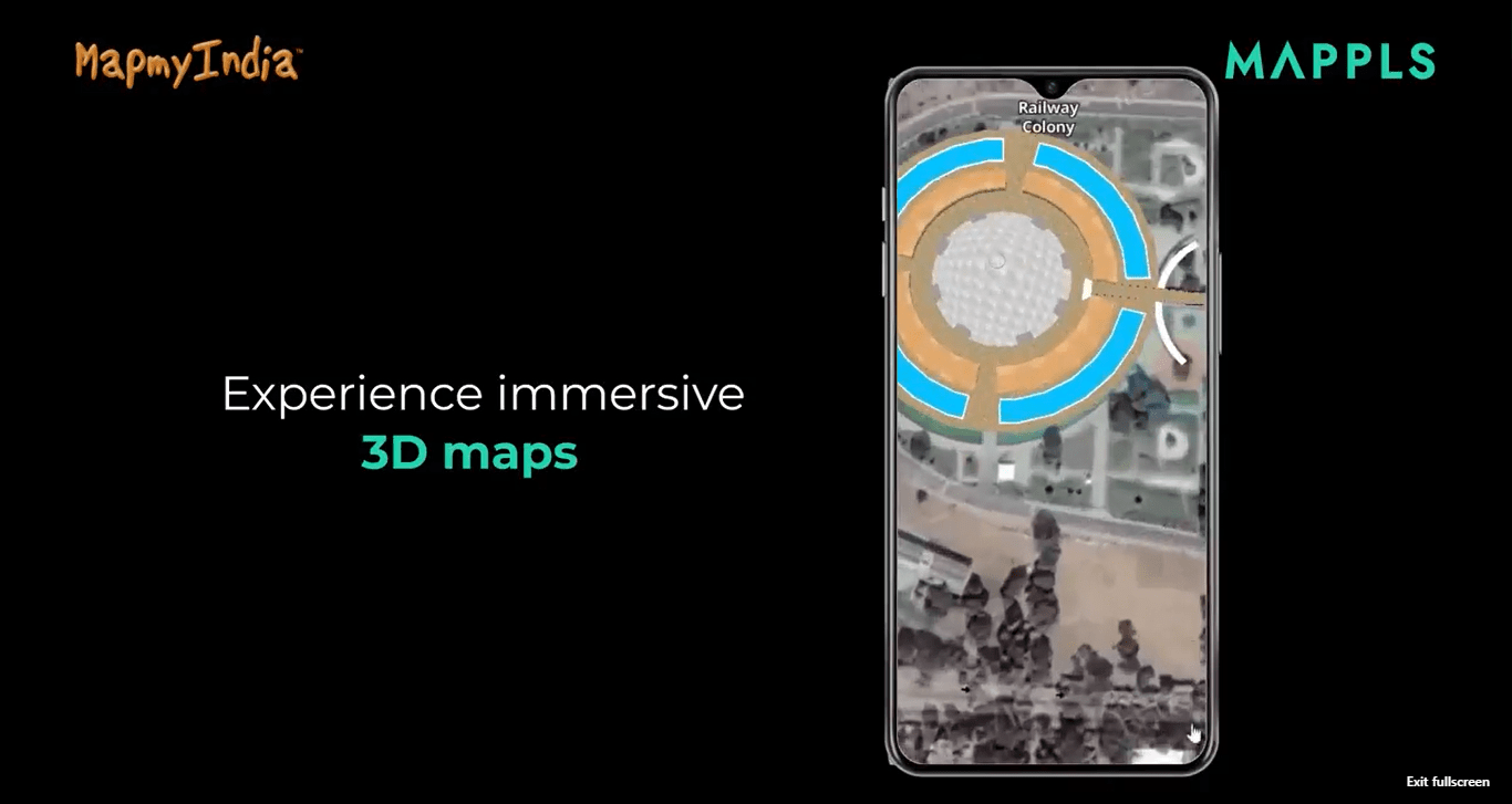
Mappls RealView by MapmyIndia offers immersive 3D Maps
The entire Mappls RealView maps repository already spans hundreds of thousands of kilometers, and it includes more than 40 crore geo-tagged 360-degree panoramas, videos, and images that accurately depict the ground reality in various cities, tourist destinations, city streets, and highways throughout India.
Through its free consumer product Mappls.com, MapmyIndia has already made live a part of its library, covering approximately 100,000 kilometers across hundreds of cities and roads. Soon, improved access will become available.
The same is available to businesses in the public and private sectors, as well as app developers, to integrate and leverage larger and more detailed RealView maps coverage as well as RealView technology-based APIs and solutions using data analytics, computer vision, and AI for a variety of use cases across tourism, real estate, virtual reality, gaming, metaverse, smart cities, intelligent road and traffic management, ADAS, autonomous vehicles, municipal governance, defense, and law enforcement.
India is growing at an unprecedented pace, with new companies, new infrastructure, and new use cases emerging to the fore every single day. In this fast-evolving landscape, the drive and contribution of AGI members like MapmyIndia employing geospatial technology for bringing data and analytics to the masses is proving to be a significant gamechanger.
About AGI India
The Association of Geospatial Industries (AGI) is an industry-led non-profit non-government professional organization that represents the interests of the geospatial industry in India and works towards the advancement of geospatial technologies and their applications.
AGI serves as a forum for the exchange of ideas, techniques, approaches, and experiences by those who design, implement, and use geospatial technology solutions. Our members represent various aspects of Geospatial technologies, including satellite-based remote sensing, aerial and drone-based survey, LiDAR, ground-based survey, GIS, Cloud computing, services, and solutions.
Contact: megha.datta@agiindia.com